Nakayama is in between Narita And Haneda International Airport
<クッキーについての同意並び欧州居住者向けプライバシーポリシー>
中山・下総・散歩道
The Ferry at Sakasai / the Biginning of Sakura Michi Road
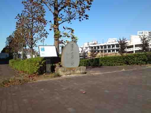
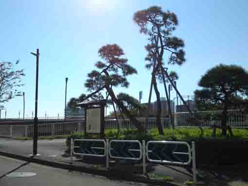
Sakasai no Watashi ato is the remains of the ferry used in Edo Period that is now standing under the 7th Highway (Komatsugawa Line) and on both east and west sides of Kyu Nakagawa (the old Nakagawa River). They are historical sites, one of it in west stands on Kameido in Kotoku and another one is on Komatsugawa in Edogawaku. There has been no specific information when it had been opened, but the signboard standing on both remanis tell it carried people early Edo Period. The ferry had the starting point of Sakura Michi Road to go to Boso Peninsula. It had carried many people when a bridge and a railway from Honjo (Kinshicho in Tokyo) to Naruto in Chiba called Sobu Line were built in 1894. Now no one knows there was the ferry. On the south of the remains, there is a large green open space named Ojima Komatsugawa Park opened on between Arakawa and Kyu Nakagawa River. In spring, it is called Komatsugawa Senbon (a thousand) Sakura since there are millions of sakura blossoms blooming in the park and on the banks of the rivers. In fall, many zelkova trees along Kyu Nakagawa River paint the views of the park beautifully. visitors could find some historic information and enjoy seeing fine view around the remains of the ferry at Sakasai. Why don't you visit Sakasai no Watashi Ato?
The Remains of the Ferry at Sakasai
The Remain of the Ferry at Sakasai
It is registered as a municiple historic site by Kotoku.The ferry at Sakasai had opened on Nakagawa River from Edo period to the early Meiji era, it had brought people from Kameido Village on the west bank to Nishi Komatsugawa on the east. Originally, it worked on between Sakasai Village on the north of Nishi Komatsugawa and Kameido, then, it was called the Ferry at Sakasai. Sakasai is a juncture of Sakura Michi Road running along the north bank of Tatekawa Canal built in 1659 and Nakagawa River and it was an important place to go to Shimousa from Edo. According to Shinpen Musashikoku Fudokiko (a geography book of Musashi province in Edo period), the river was 75 meters wide, and two boats were prepared, one was owned by Kameid0 and another one was Nishi Komatsugawa Village.
There is no specific information of the beginning of the ferry. An old book, Edo Hogakuanzu, published in 1680 tells the ferry at Komatsugawa and it was on the juncture of Soshu Sakura Kaido (Sakura Michi Road) and Nakagawa River. It implies that it had been at that time. Moreover, a record in Meiji Era, the ferry was opened in Kanbun Era (1661 - 73) by Heiuemon Tokushimaya who built Tatekawa Canal.
Ehon Edo Miyage (pictures book of Edo) published in 1850 shows the views around the ferry that many people of refined cultural tastes loved the areas around the ferry where a green rural landscape such as rice fields and woods spread all over. It tells people enjoyed seeing the views from the ferryboats.
The ferry existed in Meiji Era. According to the data recorded by Tokyo, the fare to one person was 1 rin 5mou, it for a horse, a bull or a jinrikisha (a cart that a man drawing) was 3 rin, and a cart was 1 sen 5 rin. In 1879, the ferry was closed after a bridge built on between Kameido Village and Nishi Komatsugawa Village.
December 2013平成25年12月
Kotoku Board of Education
逆井の渡し跡案内板(旧中川東岸)より
The Remains of the Ferry at Sakasai
The ferry at Sakasai on Nakagawa River appears on Shinpen Musashi Fudokikou and it tells that the ferry was called the ferry at Sakasai since it had been in Sakasai Village before, so originally it had been Sakasai on the north of Nishi Komatsugawa Village and it moved here (near Sakasai Bridge) since a road to Boso areas has been opened. This road had been called Moto Sakura Micho Road. It went through the land of Edogawaku to go to the northeast, then it went across Edogawa River to pass Ichikawa and Sakura, then, it finally reached at Narita. It has been called Chiba Kaido Road since Meiji Era.Hiroshige Ando painted a picture of the landscape around the ferry at Sakasai in his works called Meisho Edo Hyakkei (the 100 noted spots in Edo). In 1879, the ferry was closed since a bridge was built on Nakagawa River. Both villages spent the construction fees, then, they wanted to get a toll when people passed the bridge. In 1897, it was rebuilt by Tokyo. In 1968, it changed to an iron bridge by Kotoku and Edogawaku. The areas along Kyu Nakagawa has been reconstructed, Niji no Ohashi, Momiji Ohashi and Sakura OhashiBridge were built.
Edogawaku
逆井の渡し跡案内板(旧中川東岸)より
出典・抜粋・引用および参考
逆井の渡し跡案内板(旧中川西岸江東区)
逆井の渡し跡案内板(旧中川東岸江戸川区)
The Location and Access to the Remains of the Ferry at Sakasai
The Remains at the Ferry at Sakasai- The Remains at the Ferry at Sakasa have great accessibilities from both Narita and Haneda International Airport.
- From Narita International Airport, take Sobu Express Line bound to Tokyo or Yokosuka and get off at Funabashi Sta, then transfer the line to Sobu line bound to Nakano or Mitaka ang get off at Motoyawata Sta. Or take Keisei-line bound to Ueno and get off Keisei Yawata Sta. Both from Motoyawata Sta and Keisei Yawata Sta, transfer the line to Toei Shinjuku line and get off at Higashi Ojima Sta.
- From Haneda International Airport, take Keikyu-line bound to Narita, and get off Shinagawa Sta and transfer the line to Sobu Express line bound to Narita International Airport or Chiba, and transfer the line at Ichikawa Sta to Sob line bound to Nishi Funabashi, Tsudanuma or Chiba and get off at Motoyawata Sta. Or take Keikyu-line bound to Narita, and get off Keisei Yawata Sta. Both from Motoyawata Sta and Keisei Yawata Sta, transfer the line to Toei Shinjuku line and get off at Higashi Ojima Sta.
- From Iwamotocho Station at Akihabara, take Toei Shijuku line bound to Motoyawata and get off Higashi Ojima Sta.
- Take 8 minute walk from Higashi Ojima Station.
- 2 chome Komatsugwa Edogawaku or 9 chome Kameido Kotoku Tokyo
The Noted Spots along Moto Sakura Micho Road
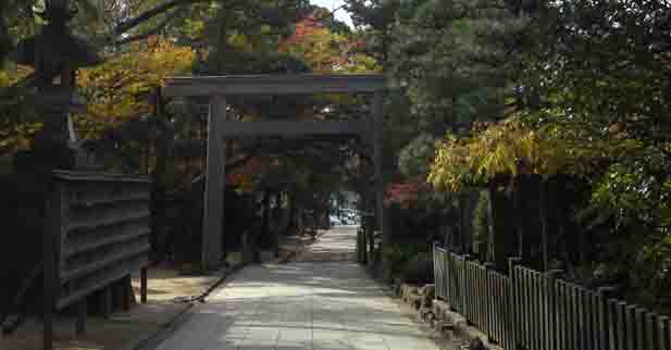
The Erea around Funabashi Daijingu Shirne
Some landmarks tell the history and culture of Funabashi City.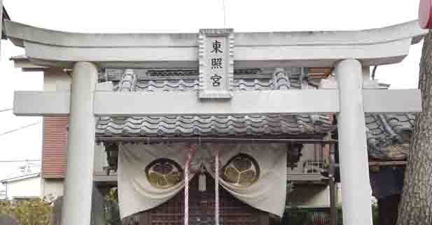
Funabashi Toshogu Shrine
It is famous for the smallest shrine that dedicates Ieyasu Tokugawa in Japan.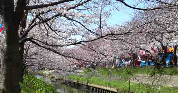
Ebigawa and the Senbon Sakura
Ebigawa is a popular spot for viewing cherry blossoms.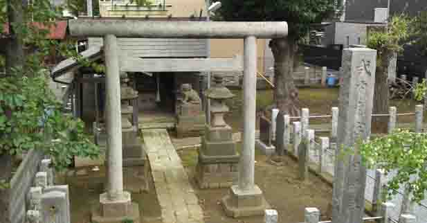
Irihi Jinja Shrine
This small shrine was built where Yamato Takeru had landed on.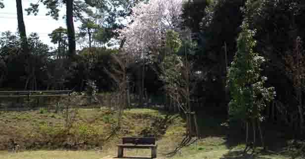
Funabashi Yonchome Ryokuchi Park and Kasuga Jinja Shirne
They look like the urban oasisi near the railway stations.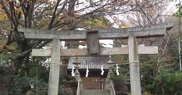
Katsushika Jinja Shrine and Katsumata no Ike Koen Park
They were popular noted spots in Edo period.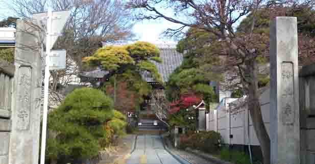
Yakuousan Tomyouji Temple
Yakushi Nyorai dedicated in it has been believed to be highly responsive for prayers.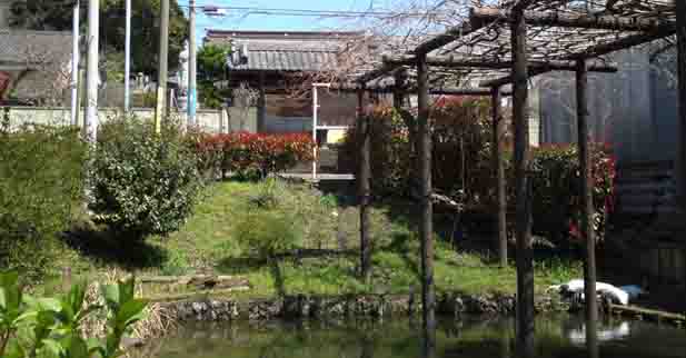
Tamonin Temple and the Futago Fuji Pond
The temple and the pond related to the Founder Nichiren.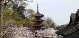
Nakayama Hokekyoji Temple
Visitors could enjoy seeing some important cultural properties.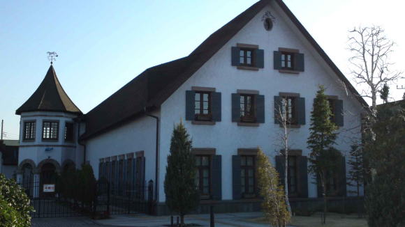
The Vicinity Of Hokekyoji
Temples, shrines and a museum are near Hokekyoji Temple.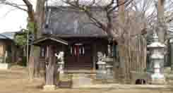
Takaishigami Jinja Shrine
This small shrine is related to the battles of Konodai in Sengoku Period.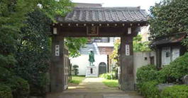
Shinmeisha Shrine and Shinmeiji Temple
They have their long history and the legend of Oguri Hangan.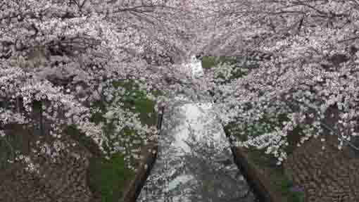
Cherry trees along Mamagawa River
The Mama-gawa River is the very famous spot to enjoy seeing the blooming Cherry Blossoms.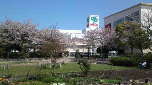
The Area Around Nikke Colton Plaza
Nikke Colton Plaza and some landmarks around are attractive and exciting to walk on.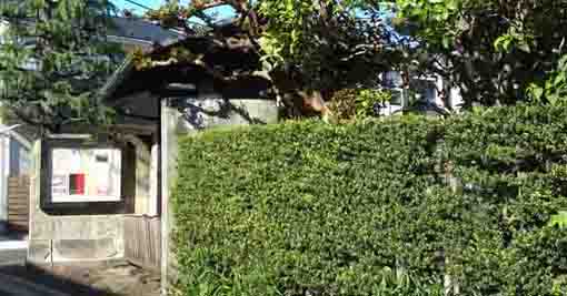
Katsushika Hachimangu Shrine
This area is very exciting as there are shops, restaurants and historical and cultural landmarks.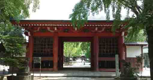
Katsushika Hachimangu Shrine
Having long history and the national natural treasure Senbon Icho Tree stands in.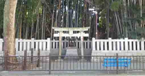
Yawata no Yabushirazu Shirne
Having some legends in this tiny thicket, many writers introduced it in their masterpieces..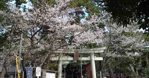
A Walk under Black Pine Trees in Hirata and Shinden Ereas
There some shrines related to Kafu Nagai in these areas.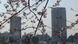
The Observatory on I-link Town Ichikawa
It commands a panoramic view of Mt.Fuji behind Tokyo.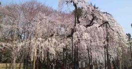
A Walk On Tekona And Mama
Tekona and Mama has read in many tanka poems, it is good place to find Japanese classics.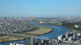
A Walk Along Edogawa River
The areas along the river have many noted spots that people could enjoy history and culture.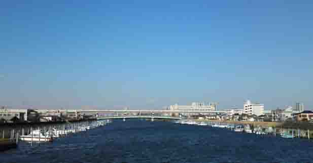
A Walk On Shinnakagawa River
The river flowing from north to south in the center of Edogawaku is an enjoyable course to walk.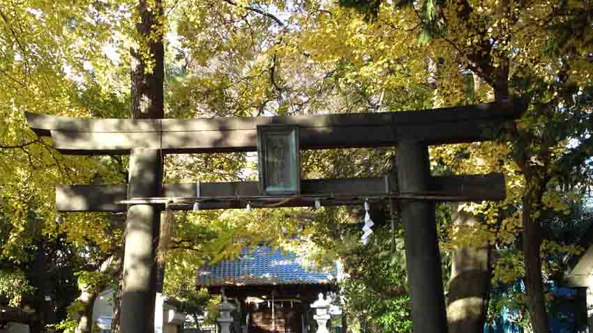
Tenso Jinja Shrine in Matsumoto
It looks like a shrine in a deep forest since many over 20 meter tall trees stand in it.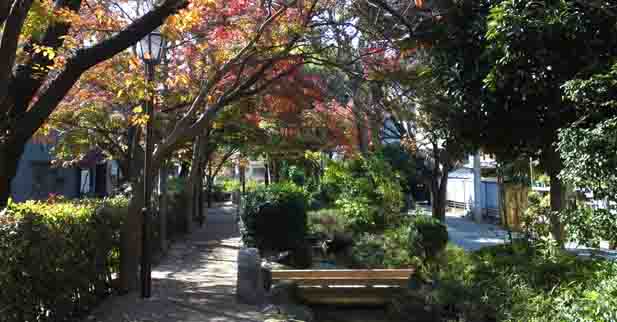
A Walk along Komatsugawa Water Park
It is like an oasis in urban areas, colored leaves wait for visitors.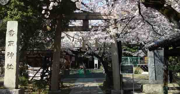
Shinkoiwa Katori Jinja Shrine and Komatsuna Yashiki Residence
They are related to Dokan Ota and Yoshimune Tokugawa.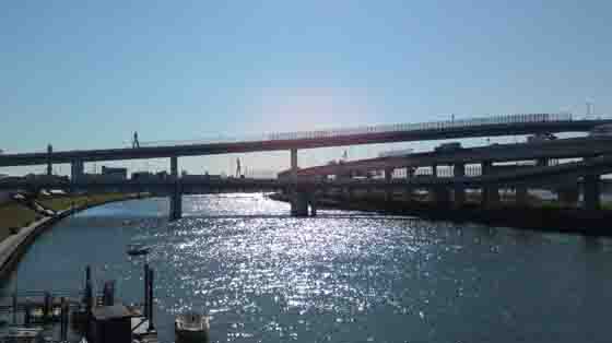
A Walk Along Nakagawa and Arakawa River
They run in between Edogawaku and Kotoku.Under Construction!
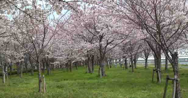
Komatsugawa Senbon Sakura
It looks a forest with cherry blossoms, or like a pale pink cloud on the bank.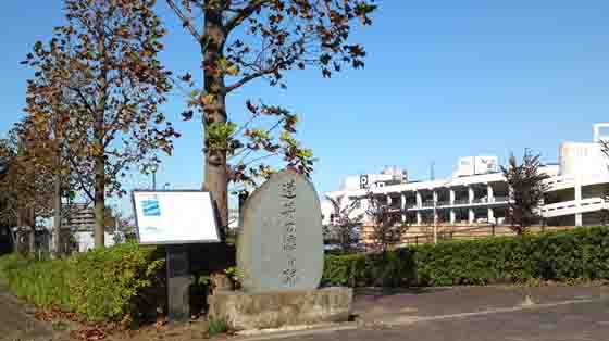
The Remains of the Ferry at Sakasai (Sakasai no Watshi ato)
The ferry was the starting point of Moto Sakura Michi Road.- 広告 Advertisement -
